MapLibre Terra Draw plugin
This section introduces a MapLibre plugin for easy integration with Terra Draw.
maplibre-gl-terradraw
Through the previous exercises you have now seen how Terra Draw works and how much control it gives you. However, you still need to write quite a lot of code to bring a full drawing UI to your map application.
maplibre-gl-terradraw was developed for easy integration with MapLibre: it wraps Terra Draw in a standard MapLibre control with ready-made buttons.
Installation
Usage
Just add a few lines of code to your MapLibre application:
import { MaplibreTerradrawControl } from '@watergis/maplibre-gl-terradraw';
import '@watergis/maplibre-gl-terradraw/dist/maplibre-gl-terradraw.css';

const drawControl = new MaplibreTerradrawControl();
map.addControl(drawControl, 'top-left');
Try it in the live editor
Add the control with your favourite selection of modes. The plugin supports
all Terra Draw modes — including polyline, undo and redo buttons — plus
extra buttons like delete and download.
Note
The plugin's stylesheet is already loaded in the live editor's preview.
In your own project, don't forget to import
@watergis/maplibre-gl-terradraw/dist/maplibre-gl-terradraw.css.
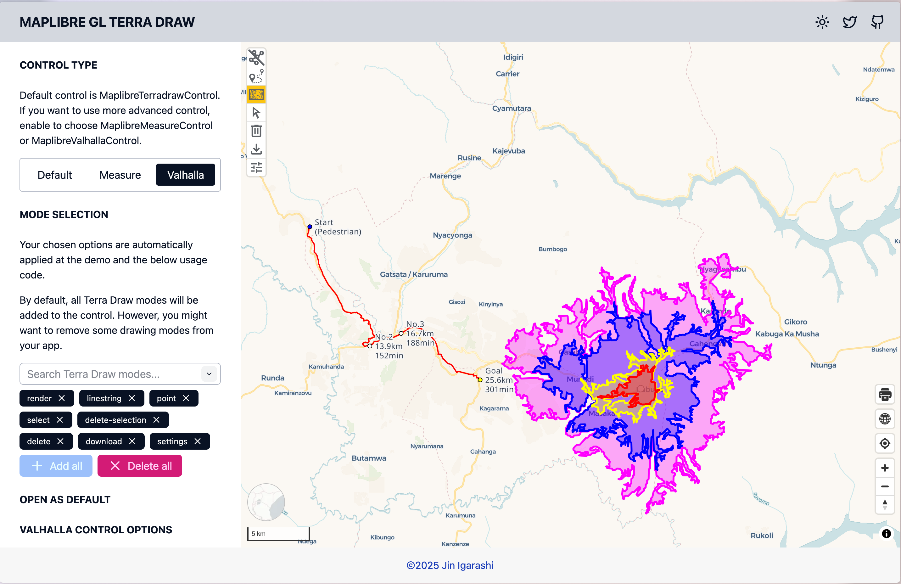
Available controls
There are three controls available in the plugin:
| Control | Description |
|---|---|
| MaplibreTerradrawControl | Standard control for drawing |
| MaplibreMeasureControl | Control for measuring distance, area and altitude |
| MaplibreValhallaControl | Control for integrating with the Valhalla API (routing and isochrones) |

All Terra Draw APIs are accessible
Through the plugin, all Terra Draw APIs are accessible via the plugin
constructor and the getTerraDrawInstance method:
const drawControl = new MaplibreTerradrawControl({
    modes: ['polygon', 'select', 'delete'], // choose which buttons are needed
    open: true, // set default state either expanded or collapsed
    modeOptions: {}, // pass your own Terra Draw mode options to override default settings
    adapterOptions: {} // pass your own adapter settings
});

// You can get the Terra Draw instance from the plugin to do whatever you want
const draw = drawControl.getTerraDrawInstance();
// do something
Demo
Open terradraw.water-gis.com/ for the demo of maplibre-gl-terradraw.
Many examples are available showing how to configure Terra Draw and the plugin.
Source code
The GitHub repository is at watergis/maplibre-gl-terradraw.
What's Next?
Finally, let's see how the very same Terra Draw code works with other mapping libraries.